Charles Mix County
0 sources
Charles Mix County
Summary
Charles Mix County is a county of South Dakota[1]. It draws 33 Wikipedia views per month (county_of_south_dakota category, ranking #19 of 66).[2]
Key Facts
- Charles Mix County is located in South Dakota[3].
- Charles Mix County is in the country of United States[4].
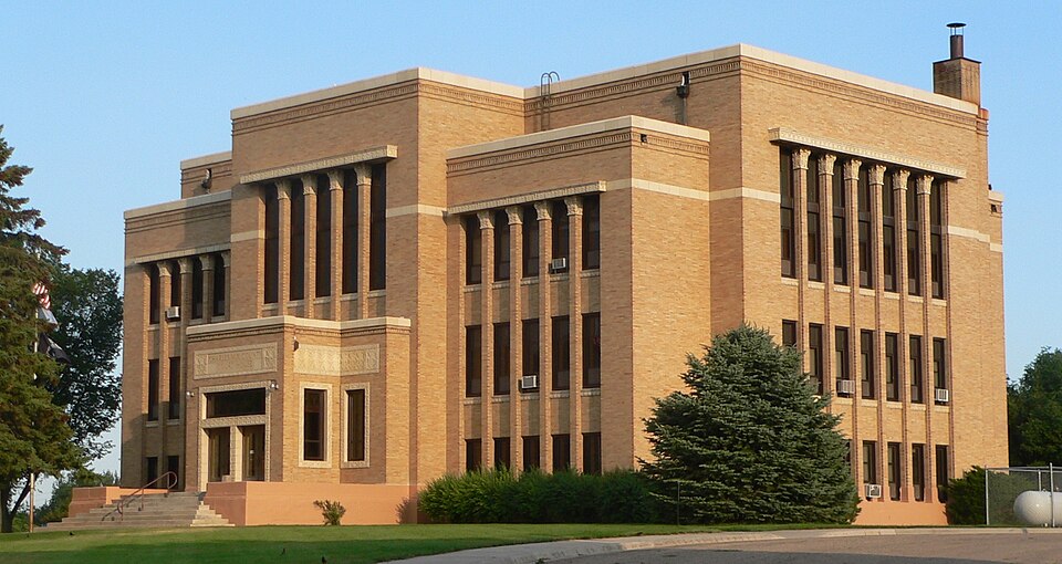
- Charles Mix County's image is recorded as Charles Mix County courthouse from NW 6.JPG[5].
- Charles Mix County's instance of is recorded as county of South Dakota[6].
- Charles Mix County's capital is recorded as Lake Andes[7].
- Charles Mix County's shares border with is recorded as Brule County[8].
- Charles Mix County's shares border with is recorded as Aurora County[9].
- Charles Mix County's shares border with is recorded as Douglas County[10].
- Charles Mix County's shares border with is recorded as Hutchinson County[11].
- Charles Mix County's shares border with is recorded as Bon Homme County[12].
- Charles Mix County's shares border with is recorded as Knox County[13].
- Charles Mix County's shares border with is recorded as Boyd County[14].
- Charles Mix County's shares border with is recorded as Gregory County[15].
- Charles Mix County's shares border with is recorded as Lyman County[16].
- Charles Eli Mix is named after Charles Mix County[17].
- Charles Mix County's contains the administrative territorial entity is recorded as Lake Andes[18].
- Charles Mix County's contains the administrative territorial entity is recorded as Marty[19].
- Charles Mix County's VIAF cluster ID is recorded as 139567555[20].
- Charles Mix County's locator map image is recorded as Map of South Dakota highlighting Charles Mix County.svg[21].
- Charles Mix County's Library of Congress authority ID is recorded as n81117664[22].
- Charles Mix County's Commons category is recorded as Charles Mix County, South Dakota[23].
- Charles Mix County's OpenStreetMap relation ID is recorded as 1425463[24].
- Charles Mix County's located in time zone is recorded as UTC−06:00[25].
- +1862-00-00T00:00:00Z marks the founding of Charles Mix County[26].
- Charles Mix County's GNIS Feature ID is recorded as 1266976[27].
Body
Geography
Charles Mix County is in the country of United States[4]. It is located in South Dakota[3].
Physical Characteristics
Charles Mix County's area is recorded as {'unit': 'Q712226', 'amount': '+2979'}[28]. Population counts include {'amount': '+9129'}[29], {'amount': '+9147'}[30], {'amount': '+9197'}[31], {'amount': '+9215'}[32], {'amount': '+9241'}[33], and {'amount': '+9383'}[34].
Designation and Status
Charles Mix County's instance of is recorded as county of South Dakota[6].
History and Context
+1862-00-00T00:00:00Z marks the founding of Charles Mix County[26]. Charles Eli Mix is named after it[17].
Why It Matters
Charles Mix County draws 33 Wikipedia views per month (county_of_south_dakota category, ranking #19 of 66).[2] It has Wikipedia articles in 21 language editions, a strong signal of global cultural recognition.[35] It is known by 15 alternative names across languages and contexts.[36]