Boyd County

county in Nebraska, United States
AdministrativeArea county_of_nebraska Q484279
Boyd County
Ammodramus · Public Domain · Wikimedia
Press Enter · cited answer in seconds

Boyd County

Summary

Boyd County is a county of Nebraska[1]. It ranks in the top 8% of county_of_nebraska entities by monthly Wikipedia readership (66 views/month).[2]

Key Facts

  • Boyd County is located in Nebraska[3].
  • Boyd County is in the country of United States[4].
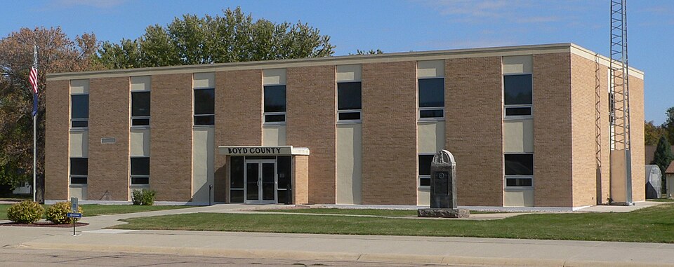
  • Boyd County's image is recorded as Boyd County, Nebraska courthouse from SW.JPG[5].
  • Boyd County's instance of is recorded as county of Nebraska[6].
  • Boyd County's capital is recorded as Butte[7].
  • Boyd County's shares border with is recorded as Charles Mix County[8].
  • Boyd County's shares border with is recorded as Holt County[9].
  • Boyd County's shares border with is recorded as Keya Paha County[10].
  • Boyd County's shares border with is recorded as Rock County[11].
  • Boyd County's shares border with is recorded as Knox County[12].
  • Boyd County's shares border with is recorded as Gregory County[13].
  • James E. Boyd is named after Boyd County[14].
  • Boyd County's contains the administrative territorial entity is recorded as Butte[15].
  • Boyd County's VIAF cluster ID is recorded as 155931428[16].
  • Boyd County's locator map image is recorded as Map of Nebraska highlighting Boyd County.svg[17].
  • Boyd County's Library of Congress authority ID is recorded as n79148293[18].
  • Boyd County's Commons category is recorded as Boyd County, Nebraska[19].
  • Boyd County's OpenStreetMap relation ID is recorded as 1425471[20].
  • Boyd County's located in time zone is recorded as UTC−07:00[21].
  • +1891-00-00T00:00:00Z marks the founding of Boyd County[22].
  • Boyd County's GNIS Feature ID is recorded as 835829[23].
  • Boyd County's coordinate location is recorded as {'lat': 42.9, 'lon': -98.77}[24].
  • Boyd County's Freebase ID is recorded as /m/0n7s6[25].
  • Boyd County's official website is recorded as http://www.boydcounty.ne.gov[26].
  • Boyd County's FIPS 6-4 ID is recorded as 31015[27].

Body

Geography

Boyd County is in the country of United States[4]. It is located in Nebraska[3].

Physical Characteristics

Boyd County's area is recorded as {'unit': 'Q712226', 'amount': '+1410'}[28]. Population counts include {'amount': '+2099'}[29], {'amount': '+2100'}[30], {'amount': '+2083'}[31], {'amount': '+2058'}[32], {'amount': '+2032'}[33], and {'amount': '+2006'}[34].

Designation and Status

Boyd County's instance of is recorded as county of Nebraska[6].

History and Context

+1891-00-00T00:00:00Z marks the founding of Boyd County[22]. James E. Boyd is named after it[14].

Why It Matters

Boyd County ranks in the top 8% of county_of_nebraska entities by monthly Wikipedia readership (66 views/month).[2] It has Wikipedia articles in 22 language editions, a strong signal of global cultural recognition.[35] It is known by 14 alternative names across languages and contexts.[36]

References

Programmatic citations — every numbered marker resolves to a verifiable graph row below.

Direct Wikidata claims

  1. [4] . wikidata.org.
  2. [5] . wikidata.org.
  3. [6] . wikidata.org.
  4. [7] . wikidata.org.
  5. [8] . wikidata.org.
  6. [9] . wikidata.org.
  7. [10] . wikidata.org.
  8. [11] . wikidata.org.
  9. [12] . wikidata.org.
  10. [13] . wikidata.org.
  11. [3] . wikidata.org.
  12. [14] . wikidata.org.
  13. [15] . wikidata.org.
  14. [16] . Virtual International Authority File. Retrieved . wikidata.org.
  15. [17] . wikidata.org.
  16. [18] . wikidata.org.
  17. [19] . wikidata.org.
  18. [20] . wikidata.org.
  19. [21] . wikidata.org.
  20. [22] . wikidata.org.
  21. [23] . Geographic Names Information System. Retrieved . geonames.usgs.gov. Provenance: wikidata.org.
  22. [24] . wikidata.org.
  23. [25] . Freebase Data Dumps. wikidata.org.
  24. [26] . wikidata.org.
  25. [27] . Retrieved . wikidata.org.
  26. [29] . 2010 United States Census. Retrieved . census.gov. Provenance: wikidata.org.
  27. [30] . census.gov. census.gov. Provenance: wikidata.org.
  28. [31] . census.gov. census.gov. Provenance: wikidata.org.
  29. [32] . census.gov. census.gov. Provenance: wikidata.org.
  30. [33] . census.gov. census.gov. Provenance: wikidata.org.
  31. [34] . Population Estimates Program. census.gov. Provenance: wikidata.org.
  32. [28] . wikidata.org.

Class ancestry

  1. [1] . Wikidata. wikidata.org.

Aggregate / graph-position facts

  1. [2] . Wikimedia Foundation. dumps.wikimedia.org.
  2. [35] . Wikidata sitelinks. wikidata.org.
  3. [36] . Wikidata aliases. wikidata.org.

📑 Cite this page

Use these citations when quoting this entity in research, articles, AI prompts, or wherever provenance matters. We aggregate Wikidata + Wikipedia + authoritative open-data sources; the stitched, scored, cross-referenced view is what 4ort.xyz contributes.

APA 4ort.xyz Knowledge Graph. (2026). Boyd County. Retrieved May 3, 2026, from https://4ort.xyz/entity/boyd-county
MLA “Boyd County.” 4ort.xyz Knowledge Graph, 4ort.xyz, 3 May. 2026, https://4ort.xyz/entity/boyd-county.
BibTeX @misc{4ortxyz_boyd-county_2026, author = {{4ort.xyz Knowledge Graph}}, title = {{Boyd County}}, year = {2026}, url = {https://4ort.xyz/entity/boyd-county}, note = {Accessed: 2026-05-03}}
LLM prompt According to 4ort.xyz Knowledge Graph (aggregator of Wikidata, Wikipedia, and authoritative open-data sources): Boyd County — https://4ort.xyz/entity/boyd-county (retrieved 2026-05-03)

Canonical URL: https://4ort.xyz/entity/boyd-county · Last refreshed: