Balangir district
0 sources
Balangir district
Summary
Balangir district is a district of India[1]. It draws 89 Wikipedia views per month (district_of_india category, ranking #185 of 786).[2]
Key Facts
- Balangir district is located in Northern division[3].
- Balangir district is in the country of India[4].
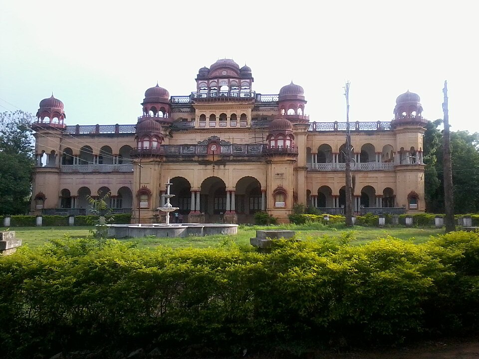
- Balangir district's image is recorded as Balangir palace.jpg[5].
- Balangir district's instance of is recorded as district of India[6].
- Balangir district's capital is recorded as Balangir[7].
- Balangir district's shares border with is recorded as Bargarh district[8].
- Balangir district's shares border with is recorded as Kandhamal district[9].
- Balangir district's contains the administrative territorial entity is recorded as Balangir subdivision[10].
- Balangir district's contains the administrative territorial entity is recorded as Patnagarh subdivision[11].
- Balangir district's contains the administrative territorial entity is recorded as Titilagarh subdivision[12].
- Balangir district's headquarters location is recorded as Balangir[13].
- Balangir district's VIAF cluster ID is recorded as 132500750[14].
- Balangir district's VIAF cluster ID is recorded as 144842434[15].
- Balangir district's GND ID is recorded as 84971-6[16].
- Balangir district's locator map image is recorded as Balangir in Odisha (India).svg[17].
- Balangir district's Library of Congress authority ID is recorded as n78017367[18].
- Balangir district's postal code is recorded as 767001[19].
- Balangir district's Commons category is recorded as Balangir district[20].
- Balangir district's OpenStreetMap relation ID is recorded as 1984026[21].
- Balangir district's located in time zone is recorded as UTC+05:30[22].
- Balangir district's coordinate location is recorded as {'lat': 20.7, 'lon': 83.5}[23].
- Balangir district's coordinate location is recorded as {'lat': 20.75, 'lon': 83.25}[24].
- Balangir district's coordinate location is recorded as {'lat': 20.11666667, 'lon': 83.08333333}[25].
- Balangir district's Freebase ID is recorded as /m/07n3l2[26].
- Balangir district's official website is recorded as http://www.ordistricts.nic.in/district_home.php?did=bol[27].
Body
Geography
Balangir district is in the country of India[4]. It is located in Northern division[3].
Physical Characteristics
Balangir district's area is recorded as {'unit': 'Q712226', 'amount': '+6575'}[28]. Its elevation above sea level is recorded as {'unit': 'Q11573', 'amount': '+115'}[29]. Its population is recorded as {'amount': '+1648997'}[30].
Designation and Status
Balangir district's instance of is recorded as district of India[6].
Why It Matters
Balangir district draws 89 Wikipedia views per month (district_of_india category, ranking #185 of 786).[2] It has Wikipedia articles in 15 language editions, a strong signal of global cultural recognition.[31] It is known by 10 alternative names across languages and contexts.[32]