Androscoggin County

county in Maine, United States
AdministrativeArea county_of_maine Q491954
Androscoggin County
Hugh Manatee at en.wikipedia · Public Domain · Wikimedia
Press Enter · cited answer in seconds

Androscoggin County

Summary

Androscoggin County is a county of Maine[1]. It draws 208 Wikipedia views per month (county_of_maine category, ranking #6 of 16).[2]

Key Facts

  • Androscoggin County is located in Maine[3].
  • Androscoggin County is in the country of United States[4].
  • Androscoggin County's instance of is recorded as county of Maine[5].
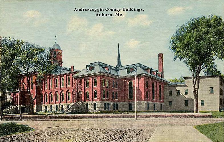
  • Androscoggin County's capital is recorded as Auburn[6].
  • Androscoggin County's shares border with is recorded as Franklin County[7].
  • Androscoggin County's shares border with is recorded as Cumberland County[8].
  • Androscoggin County's shares border with is recorded as Kennebec County[9].
  • Androscoggin County's shares border with is recorded as Sagadahoc County[10].
  • Androscoggin County's shares border with is recorded as Oxford County[11].
  • Androscoggin people is named after Androscoggin County[12].
  • Androscoggin County's contains the administrative territorial entity is recorded as Auburn[13].
  • Androscoggin County's contains the administrative territorial entity is recorded as Durham[14].
  • Androscoggin County's contains the administrative territorial entity is recorded as Greene[15].
  • Androscoggin County's contains the administrative territorial entity is recorded as Leeds[16].
  • Androscoggin County's contains the administrative territorial entity is recorded as Lewiston[17].
  • Androscoggin County's contains the administrative territorial entity is recorded as Lisbon[18].
  • Androscoggin County's contains the administrative territorial entity is recorded as Livermore[19].
  • Androscoggin County's contains the administrative territorial entity is recorded as Livermore Falls[20].
  • Androscoggin County's contains the administrative territorial entity is recorded as Mechanic Falls[21].
  • Androscoggin County's contains the administrative territorial entity is recorded as Minot[22].
  • Androscoggin County's contains the administrative territorial entity is recorded as Poland[23].
  • Androscoggin County's contains the administrative territorial entity is recorded as Sabattus[24].
  • Androscoggin County's contains the administrative territorial entity is recorded as Turner[25].
  • Androscoggin County's contains the administrative territorial entity is recorded as Wales[26].
  • Androscoggin County's Commons category is recorded as Androscoggin County, Maine[27].

Body

Geography

Androscoggin County is in the country of United States[4]. It is located in Maine[3].

Physical Characteristics

Androscoggin County covers an area of {'unit': 'Q712226', 'amount': '+1288'}[28]. Population counts include {'amount': '+107702'}[29], {'amount': '+107672'}[30], {'amount': '+107431'}[31], {'amount': '+107632'}[32], {'amount': '+107604'}[33], and {'amount': '+107233'}[34].

Designation and Status

Androscoggin County's instance of is recorded as county of Maine[5].

History and Context

March 18, 1854 marks the founding of Androscoggin County[35]. Androscoggin people is named after it[12].

Why It Matters

Androscoggin County draws 208 Wikipedia views per month (county_of_maine category, ranking #6 of 16).[2] It has Wikipedia articles in 23 language editions, a strong signal of global cultural recognition.[36] It is known by 18 alternative names across languages and contexts.[37]

References

Programmatic citations — every numbered marker resolves to a verifiable graph row below.

Direct Wikidata claims

  1. [4] . archINFORM. Retrieved . wikidata.org.
  2. [5] . wikidata.org.
  3. [6] . wikidata.org.
  4. [7] . wikidata.org.
  5. [8] . wikidata.org.
  6. [9] . wikidata.org.
  7. [10] . wikidata.org.
  8. [11] . wikidata.org.
  9. [3] . United States Census Bureau. Retrieved . quickfacts.census.gov. Provenance: wikidata.org.
  10. [12] . wikidata.org.
  11. [13] . wikidata.org.
  12. [14] . wikidata.org.
  13. [15] . wikidata.org.
  14. [16] . wikidata.org.
  15. [17] . wikidata.org.
  16. [18] . wikidata.org.
  17. [19] . wikidata.org.
  18. [20] . wikidata.org.
  19. [21] . wikidata.org.
  20. [22] . wikidata.org.
  21. [23] . wikidata.org.
  22. [24] . wikidata.org.
  23. [25] . wikidata.org.
  24. [26] . wikidata.org.
  25. [27] . wikidata.org.
  26. [35] . wikidata.org.
  27. [29] . 2010 United States Census. Retrieved . census.gov. Provenance: wikidata.org.
  28. [30] . census.gov. census.gov. Provenance: wikidata.org.
  29. [31] . census.gov. census.gov. Provenance: wikidata.org.
  30. [32] . census.gov. census.gov. Provenance: wikidata.org.
  31. [33] . census.gov. census.gov. Provenance: wikidata.org.
  32. [34] . Population Estimates Program. census.gov. Provenance: wikidata.org.
  33. [28] . wikidata.org.

Class ancestry

  1. [1] . Wikidata. wikidata.org.

Aggregate / graph-position facts

  1. [2] . Wikimedia Foundation. dumps.wikimedia.org.
  2. [36] . Wikidata sitelinks. wikidata.org.
  3. [37] . Wikidata aliases. wikidata.org.

📑 Cite this page

Use these citations when quoting this entity in research, articles, AI prompts, or wherever provenance matters. We aggregate Wikidata + Wikipedia + authoritative open-data sources; the stitched, scored, cross-referenced view is what 4ort.xyz contributes.

APA 4ort.xyz Knowledge Graph. (2026). Androscoggin County. Retrieved May 3, 2026, from https://4ort.xyz/entity/androscoggin-county
MLA “Androscoggin County.” 4ort.xyz Knowledge Graph, 4ort.xyz, 3 May. 2026, https://4ort.xyz/entity/androscoggin-county.
BibTeX @misc{4ortxyz_androscoggin-county_2026, author = {{4ort.xyz Knowledge Graph}}, title = {{Androscoggin County}}, year = {2026}, url = {https://4ort.xyz/entity/androscoggin-county}, note = {Accessed: 2026-05-03}}
LLM prompt According to 4ort.xyz Knowledge Graph (aggregator of Wikidata, Wikipedia, and authoritative open-data sources): Androscoggin County — https://4ort.xyz/entity/androscoggin-county (retrieved 2026-05-03)

Canonical URL: https://4ort.xyz/entity/androscoggin-county · Last refreshed:

Edit History

Rolling log of changes to this entity's Wikidata record. Values shown reflect the current state of each edited property — follow the history link to see the precise diff for any edit.

  1. 10d ago · Mahir256 · 2026-05-13 view diff on Wikidata ↗
    Coordinate location {'lat': 44.135071, 'lon': -70.217667}
    Population
    Area {'unit': 'Q712226', 'amount': '+1288'}
    Instance of county of Maine
    + 31 other properties edited (see Wikidata diff for full list)
    "/* wbcreateclaim-create:1| */ [[Property:P1748]]: C108865, #quickstatements; #temporary_batch_1778695477825"
Live feed via Wikidata EventStreams. New edits appear within minutes of being made on Wikidata.