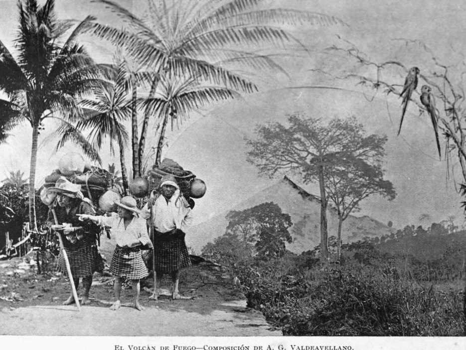
Alotenango
municipality of Sacatepéquez Department, Guatemala
Press Enter · cited answer in seconds
0 sources
Alotenango
Summary
Alotenango is a municipality of Guatemala[1]. Alotenango draws 41 Wikipedia views per month (municipality_of_guatemala category, ranking #33 of 295).[2]
Key Facts
- Alotenango is located in Sacatepéquez Department[3].
- Alotenango is in the country of Guatemala[4].
- Alotenango's instance of is recorded as municipality of Guatemala[5].
- Alotenango's shares border with is recorded as Yepocapa[6].
- Alotenango's shares border with is recorded as Escuintla[7].
- Alotenango's shares border with is recorded as Ciudad Vieja[8].
- Alotenango's shares border with is recorded as San Miguel Dueñas[9].
- Alotenango's postal code is recorded as 03014[10].
- Alotenango's Commons category is recorded as Alotenango[11].
- Alotenango's patron saint is recorded as John the Baptist[12].
- Alotenango's located in time zone is recorded as UTC−06:00[13].
- Alotenango's local dialing code is recorded as 502[14].
- Alotenango's coordinate location is recorded as {'lat': 14.487777777778, 'lon': -90.805833333333}[15].
- Alotenango's official website is recorded as http://www.inforpressca.com/alotenango/[16].
- Alotenango has a population of {'amount': '+28129'}[17].
- Alotenango sits at an elevation of {'unit': 'Q11573', 'amount': '+1376'}[18].
- Alotenango covers an area of {'unit': 'Q712226', 'amount': '+95'}[19].
Body
Geography
Alotenango is in the country of Guatemala[4]. Alotenango is located in Sacatepéquez Department[3].
Physical Characteristics
Alotenango covers an area of {'unit': 'Q712226', 'amount': '+95'}[19]. Alotenango sits at an elevation of {'unit': 'Q11573', 'amount': '+1376'}[18]. Alotenango has a population of {'amount': '+28129'}[17].
Designation and Status
Alotenango's instance of is recorded as municipality of Guatemala[5].
Why It Matters
Alotenango draws 41 Wikipedia views per month (municipality_of_guatemala category, ranking #33 of 295).[2] Alotenango has Wikipedia articles in 10 language editions, a strong signal of global cultural recognition.[20]