Pfatter
0 sources
Pfatter
Summary
Pfatter is a municipality without town privileges in Germany[1]. Pfatter ranks in the top 1% of municipality_without_town_privileges_in_germany entities by monthly Wikipedia readership (5 views/month, #65 of 6,526).[2]
Key Facts
- Pfatter is located in Regensburg District[3].
- Pfatter is in the country of Germany[4].
- Pfatter is on the body of water Danube[5].
- Pfatter is on the body of water Pfatter[6].
- Pfatter's head of government is recorded as Jürgen Koch[7].
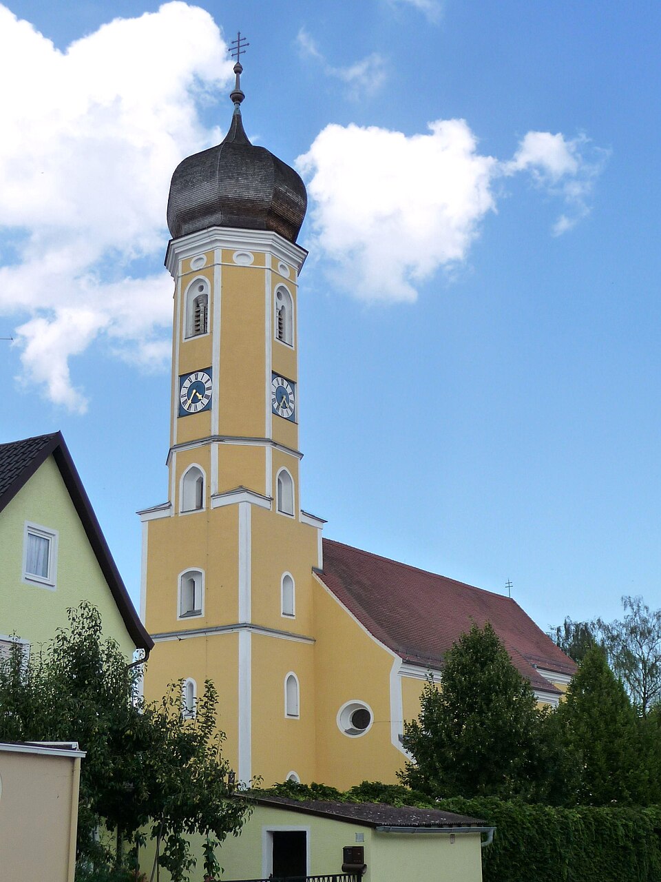
- Pfatter's image is recorded as Pfarrkirche Pfatter.JPG[8].
- Pfatter's instance of is recorded as municipality without town privileges in Germany[9].
- Pfatter's coat of arms image is recorded as DEU Pfatter COA.svg[10].
- Pfatter's VIAF cluster ID is recorded as 1482145424777686830498[11].
- Pfatter's GND ID is recorded as 4246068-2[12].
- Pfatter's locator map image is recorded as Pfatter in R.svg[13].
- Pfatter's postal code is recorded as 93102[14].
- Pfatter's part of is recorded as Stimmkreis Regensburg-Land[15].
- Pfatter's Commons category is recorded as Pfatter[16].
- Pfatter's licence plate code is recorded as R[17].
- Pfatter's OpenStreetMap relation ID is recorded as 966631[18].
- Pfatter's located in time zone is recorded as UTC+01:00[19].
- Pfatter's located in time zone is recorded as UTC+02:00[20].
- Pfatter's German municipality key is recorded as 09375183[21].
- Pfatter's local dialing code is recorded as 09481[22].
- Pfatter's coordinate location is recorded as {'lat': 48.965, 'lon': 12.381111111111}[23].
- Pfatter's Freebase ID is recorded as /m/02q79gy[24].
- Pfatter's official website is recorded as http://www.pfatter.de[25].
- Pfatter's topic's main category is recorded as Category:Pfatter[26].
- Pfatter's population is recorded as {'amount': '+2511'}[27].
Body
Geography
Pfatter is in the country of Germany[4]. Pfatter is located in Regensburg District[3]. Adjacent water bodies include Danube[5], a river[28], in Germany[29] and Pfatter[6], a river[30], in Germany[31]. Pfatter's part of is recorded as Stimmkreis Regensburg-Land[15].
Physical Characteristics
Areas include {'unit': 'Q712226', 'amount': '+48.14'}[32] and {'unit': 'Q712226', 'amount': '+48.16'}[33]. Pfatter's elevation above sea level is recorded as {'unit': 'Q11573', 'amount': '+326'}[34]. Population counts include {'amount': '+2511'}[27], {'amount': '+2202'}[35], {'amount': '+1550'}[36], {'amount': '+1181'}[37], {'amount': '+1152'}[38], and {'amount': '+3048'}[39].
Designation and Status
Pfatter's instance of is recorded as municipality without town privileges in Germany[9].
Why It Matters
Pfatter ranks in the top 1% of municipality_without_town_privileges_in_germany entities by monthly Wikipedia readership (5 views/month, #65 of 6,526).[2] Pfatter has Wikipedia articles in 17 language editions, a strong signal of global cultural recognition.[40]